
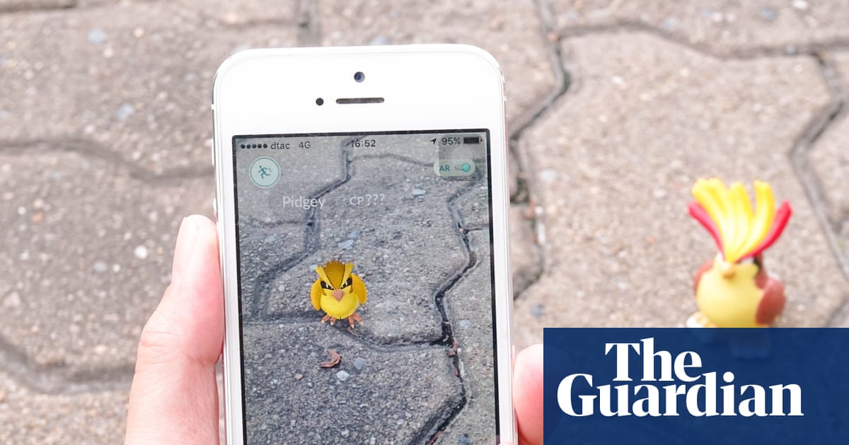
Massive data collected by Pokémon Go players through the Pokéstops location scanning feature has served as the foundation for training Niantic Spatial models. In partnership with the company Vantor, this technology allows drones to navigate effectively in combat zones where GPS access is unavailable.
What Happened
Niantic, in collaboration with Vantor, has applied spatial data from the mobile game Pokémon Go to create Niantic Spatial models. These models allow drones to use visual and spatial positioning for navigation, ensuring their resilience when operating under electronic warfare (EW) and GPS spoofing conditions.
Context
In modern military conflicts, using GPS becomes difficult due to signal jamming and spoofing tools. To ensure drone autonomy, alternative navigation methods are required, such as Visual Positioning Systems (VPS), which rely on recognizing the surrounding landscape.
Why It Matters for the Industry
This case demonstrates an effective way to use unstructured consumer data to train foundation models for spatial perception. The transition from entertainment content to defense technologies opens new patterns for the commercialization of mass AR data and highlights the value of gaming mechanics for collecting specialized datasets.
Why It Matters for Users
For ordinary users, this serves as an example of how data from everyday entertainment applications can be transformed into dual-use tools. Such practices raise important questions regarding privacy and the ethics of using data collected within free services for defense purposes.
Sources
Author
Look at AI, Editorial Team